


15.6 km | 23 km-effort

Tous les sentiers balisés d’Europe GUIDE+


FREE GPS app for hiking
 SityTrail
IGN / Geographical institutes
SityTrail World
The world is yours!
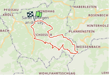
Trail On foot of 14.3 km to be discovered at Lower Austria, Bezirk Scheibbs, Gemeinde St. Georgen an der Leys. This trail is proposed by SityTrail - itinéraires balisés pédestres.
Trail created by Gemeinde Sankt Georgen an der Leys.
Bei Haberleiten Wegverlauf anders als in Karte "St. Georgen an der Leys" 2015
Symbol: grüne 05 auf gelbem Grund
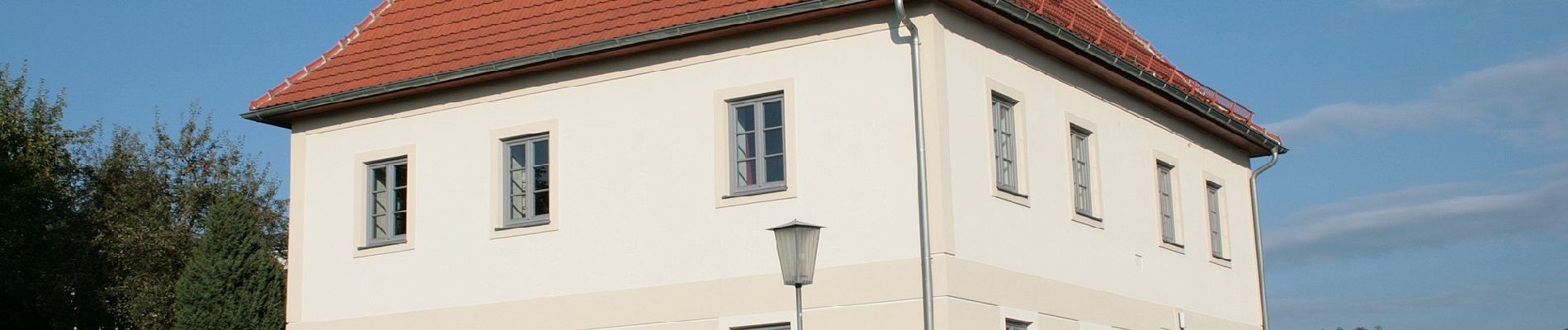
 - Photo 1")
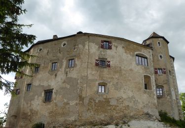
 - Photo 2")
On foot

On foot

On foot

On foot
On foot
On foot